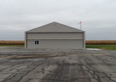
Airport
OWNER:
Putnam County Airport Authority
MANAGER:
Chad Niese
Linda Niese
ADDRESS:
CONTACT:
Phone: 419.523.3910
Cell: 419.235.4182
[email protected]
Airport Services
| Service Type | Information |
|---|---|
| Fuel Available 24 Hours | 100LL JET-A |
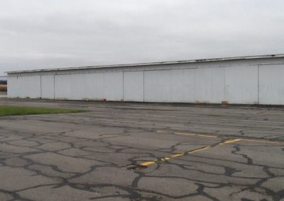
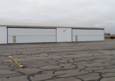
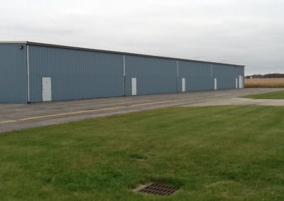
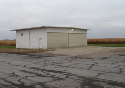
| Parking | Hangars & Tiedowns |
| Airframe Service | MINOR |
| Powerplant Service | MINOR |
| Conference Room | Up to 10 people |
| Pilot Lounge | Includes Kitchen Area |
| Service Type | Information |
Location
- FAA Identifier: OWX
- Lat/Long: 41-02-08.1000N / 083-58-55.3000W
- 41-02.135000N / 083-58.921667W
- 41.0355833 / -83.9820278 (estimated)
- Elevation: 764 ft. / 232.9 m (surveyed)
- Variation: 05W (1990)
- From city: 3 miles NE of OTTAWA, OH
- Time zone: UTC -4 (UTC -5 during Standard Time)
- Zip code: 45875
Airport Operations
Airport use: Open to the public
Activation date: 10/1967
Sectional chart: DETROIT
Control tower: no
ARTCC: CLEVELAND CENTER
FSS: CLEVELAND FLIGHT SERVICE STATION
NOTAMs facility: CLE (NOTAM-D service available)
Attendance: MON-FRI 0900-1700
FOR SVCS AFT HRS CALL 419-523-3910.
Wind indicator: lighted
Segmented circle: no
Lights: DUSK-DAWN/Pilot Controlled
ACTVT MIRL RY 09/27 & REIL RYS 09 & 27 – CTAF.
Beacon: white-green (lighted land airport)
Airport Communications
CTAF/UNICOM: 122.7
WX AWOS-3: 120.525 (419-523-4151)
TOLEDO APPROACH: 120.8 [0600-2300]
TOLEDO DEPARTURE: 120.8 [0600-2300]
WX ASOS at FDY (14 nm E): 124.425 (419-427-8524)
WX ASOS at AOH (20 nm S): 108.4 (419-224-6098)
Nearby Radio Navigation Aids
Runway Information
| Dimensions: | 4504 x 75 ft. / 1373 x 23 m | |
| Surface: | asphalt, in excellent condition | |
| Runway edge lights: | medium intensity | |
| RUNWAY 9 | RUNWAY 27 | |
| Latitude: | 41-02.133667N | 41-02.137333N |
| Longitude: | 083-59.404000W | 083-58.424833W |
| Elevation: | 754.1 ft | 763.2 ft. |
| Gradient: | 0.2% | 0.2% |
| Traffic pattern: | left | left |
| Runway heading: | 095 magnetic, 090 true | 275 magnetic, 270 true |
| Markings: | nonprecision, in good condition | nonprecision, in good condition |
| Visual slope indicator: | 2-light PAPI on left (3.00 degrees glide path) | 2-light PAPI on left (3.00 degrees glide path) |
| Runway end identifier lights: | yes | yes |
| Touchdown point: | yes, no lights | yes, no lights |
| Obstructions: | 9 ft. road, 222 ft. from runway, 217 ft. left of centerline +9 FT RD 0-200 FT FM RY END 222 FT L. |
11 ft. road, 201 ft. from runway, 208 ft. right of centerline RY 27 11 FT ROAD 0-200 FT FM RY 200 FT R. |
Airport Ownership & Management From Offical FAA records
Ownership: Publicly-owned
Owner: PUTNAM CO ARPT AUTHORITY
10218 COUNTY RD 5H
OTTAWA, OH 45875
Phone 419-523-3910
Manager: PUTNAM CO ARPT AUTHORITY
10218 COUNTY RD 5H
OTTAWA, OH 45875
Phone 419-523-3910
AIRPORT CONTACT KENT NIESE 419-523-3910.
Airport Operational Statics
- Aircraft based on the field: 22
- Single engine airplanes: 18
- Multi engine airplanes: 4
- Aircraft operations: avg 33/day*
- 84% local general aviation
- 15% transient general aviation
- <1% air taxi
* for 12-month period ending 03 May 2010
Additional Remarks
- Intensive Agri Opns & Crop Dusting.
- Extensive Glider Opns.
- 24 Hr Self Svc Fuel.
- Airport Ctc Amgr 419-523-3910.
Instrument Procedures
NOTE: All procedures below are presented as PDF files. If you need a reader for these files, you should download the free Adobe Reader.
NOT FOR NAVIGATION. Please procure official charts for flight.
FAA instrument procedures published for use between 7 April 2011 at 0901Z and 5 May 2011 at 0900Z.

